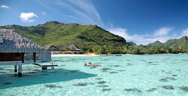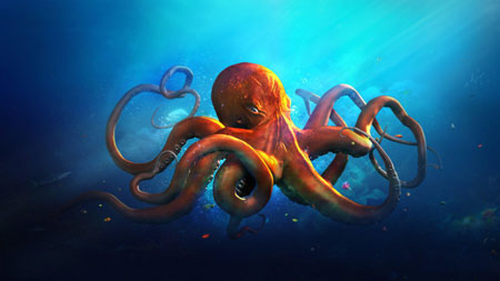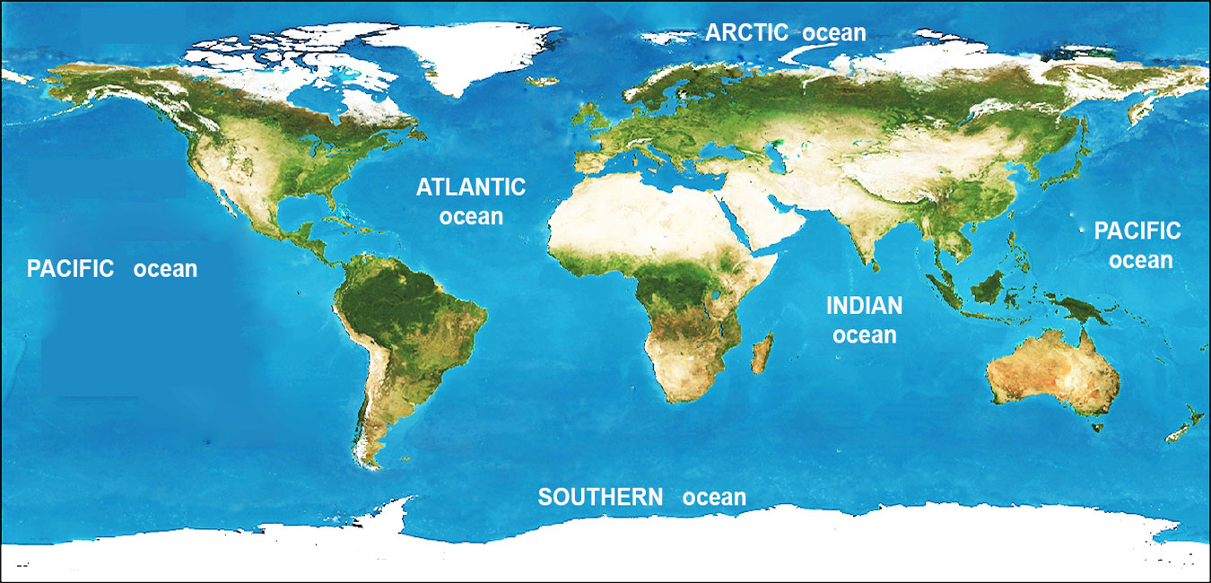


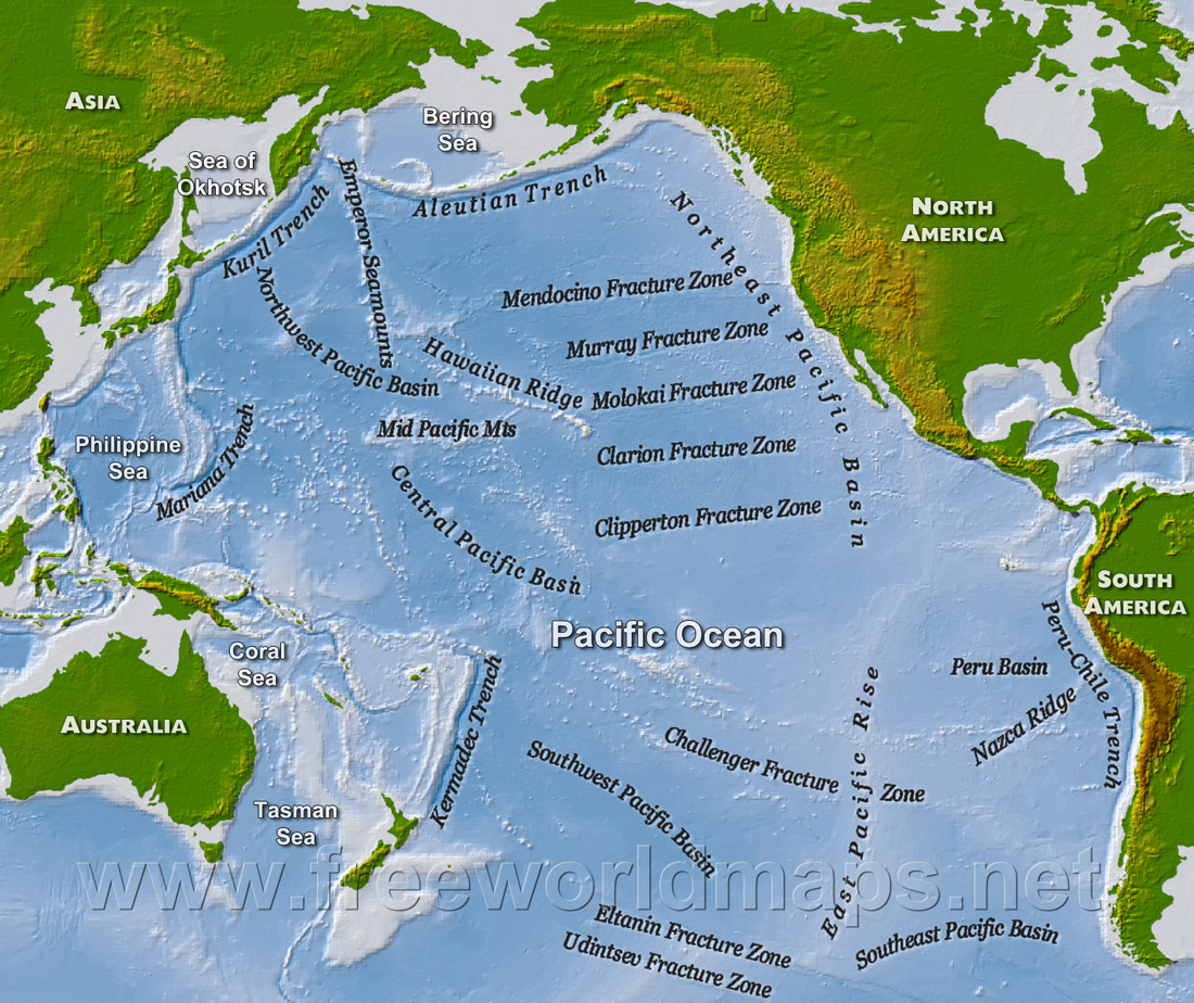

The Pacific Ocean is the largest and deepest of the Earth's oceanic divisions. It extends from the Arctic Ocean in the north to the Southern Ocean (or, depending on definition, to Antarctica) in the south and is bounded by Asia and Australia in the west and the Americas in the east.
At 63,800,000 square miles (165,000,000 km2) in area, this largest division of the World Ocean—and, in turn, the hydrosphere—covers about 46% of the Earth's water surface and about one-third of its total surface area, making it larger than all of the Earth's land area combined.
The equator subdivides it into the North Pacific Ocean and South Pacific Ocean, with two exceptions: the Galápagos and Gilbert Islands, while straddling the equator, are deemed wholly within the South Pacific. The Mariana Trench in the western North Pacific is the deepest point in the world, reaching a depth of 35,797 feet (10,911 m).
Learn more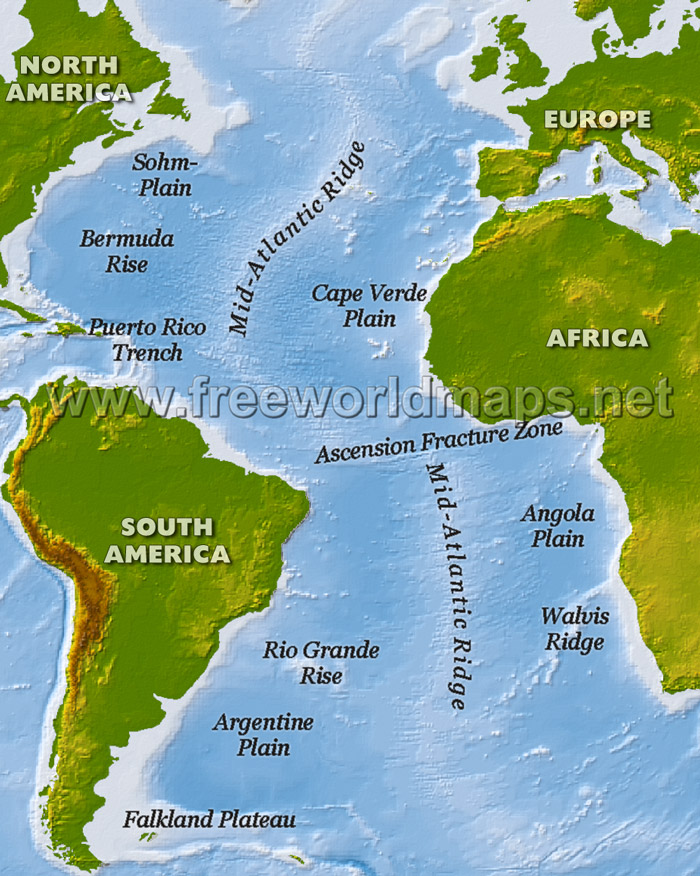
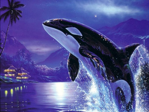
The Atlantic Ocean is the second largest of the world's oceans with a total area of about 106,460,000 square kilometres (41,100,000 sq mi). It covers approximately 20 percent of the Earth's surface and about 29 percent of its water surface area. It separates the "Old World" from the "New World".
The Atlantic Ocean occupies an elongated, S-shaped basin extending longitudinally between Eurasia and Africa to the east, and the Americas to the west. As one component of the interconnected global ocean, it is connected in the north to the Arctic Ocean, to the Pacific Ocean in the southwest, the Indian Ocean in the southeast, and the Southern Ocean in the south (other definitions describe the Atlantic as extending southward to Antarctica). The Equatorial Counter Current subdivides it into the North Atlantic Ocean and South Atlantic Ocean at about 8°N.
In the southeast, the Atlantic merges into the Indian Ocean. The 20° East meridian, running south from Cape Agulhas to Antarctica defines its border. In the 1953 definition it extends south to Antarctica, while in later maps it is bounded at the 60° parallel by the Southern Ocean.
Learn more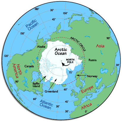
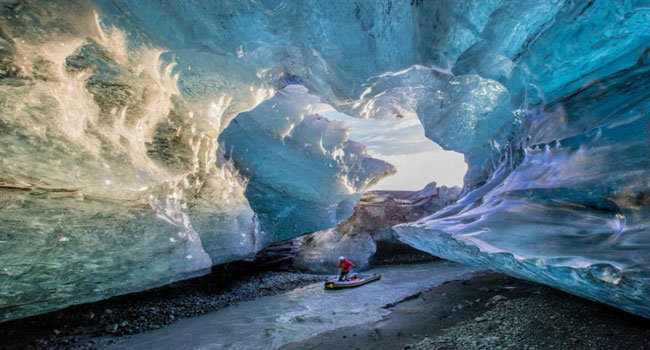
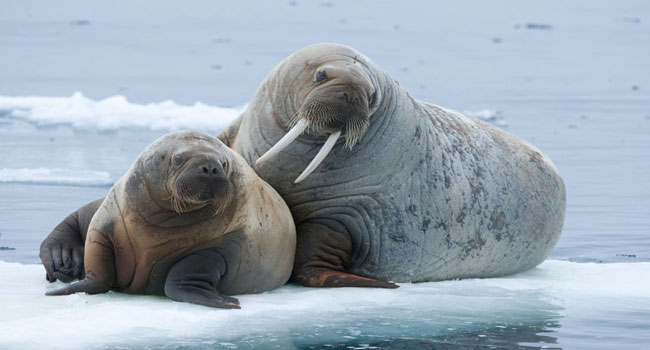
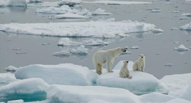
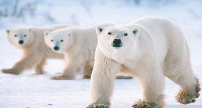
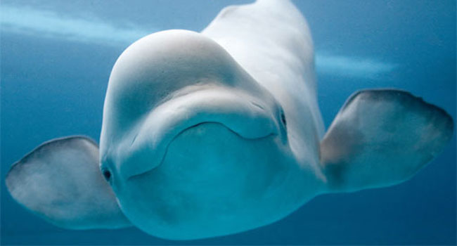
The Arctic Ocean is the smallest and shallowest of the world's five major oceans. The International Hydrographic Organization (IHO) recognizes it as an ocean, although some oceanographers call it the Arctic Mediterranean Sea or simply the Arctic Sea, classifying it a mediterranean sea or an estuary of the Atlantic Ocean. Alternatively, the Arctic Ocean can be seen as the northernmost part of the all-encompassing World Ocean.
Located mostly in the Arctic north polar region in the middle of the Northern Hemisphere, the Arctic Ocean is almost completely surrounded by Eurasia and North America. It is partly covered by sea ice throughout the year and almost completely in winter. The Arctic Ocean's surface temperature and salinity vary seasonally as the ice cover melts and freezes. its salinity is the lowest on average of the five major oceans, due to low evaporation, heavy fresh water inflow from rivers and streams, and limited connection and outflow to surrounding oceanic waters with higher salinities. The summer shrinking of the ice has been quoted at 50%. The US National Snow and Ice Data Center (NSIDC) uses satellite data to provide a daily record of Arctic sea ice cover and the rate of melting compared to an average period and specific past years.
Learn more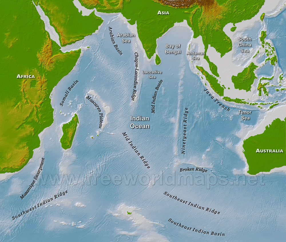
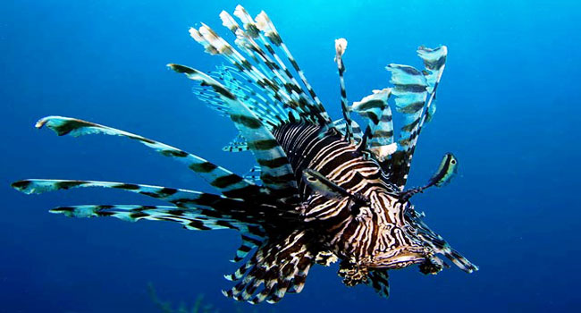
The Indian Ocean is the third largest of the world's oceanic divisions, covering 70,560,000 km2 (27,240,000 sq mi) (approximately 20% of the water on the Earth's surface). It is bounded by Asia on the north, on the west by Africa, on the east by Australia, and on the south by the Southern Ocean or, depending on definition, by Antarctica. It is named after India. The Indian Ocean is known as Ratnākara (Sanskrit: रत्नाकर), "the mine of gems" in ancient Sanskrit literature, and as Hind Mahāsāgar
The borders of the Indian Ocean, as delineated by the International Hydrographic Organization in 1953 included the Southern Ocean but not the marginal seas along the northern rim, but in 2000 the IHO delimited the Southern Ocean separately, which removed waters south of 60°S from the Indian Ocean, but included the northern marginal seas. Meridionally, the Indian Ocean is delimited from the Atlantic Ocean by the 20° east meridian, running south from Cape Agulhas, and from the Pacific Ocean by the meridian of 146°55'E, running south from the southernmost point of Tasmania. The northernmost extent of the Indian Ocean is approximately 30° north in the Persian Gulf.
The Indian Ocean covers 70,560,000 km2 (27,240,000 sq mi), including the Red Sea and the Persian Gulf but excluding the Southern Ocean, or 19.5% of the world's oceans; its volume is 264,000,000 km3 (63,000,000 cu mi) or 19.8% of the world's oceans' volume; it has an average depth of 3,741 m (12,274 ft) and a maximum depth of 7,906 m (25,938 ft).
Learn more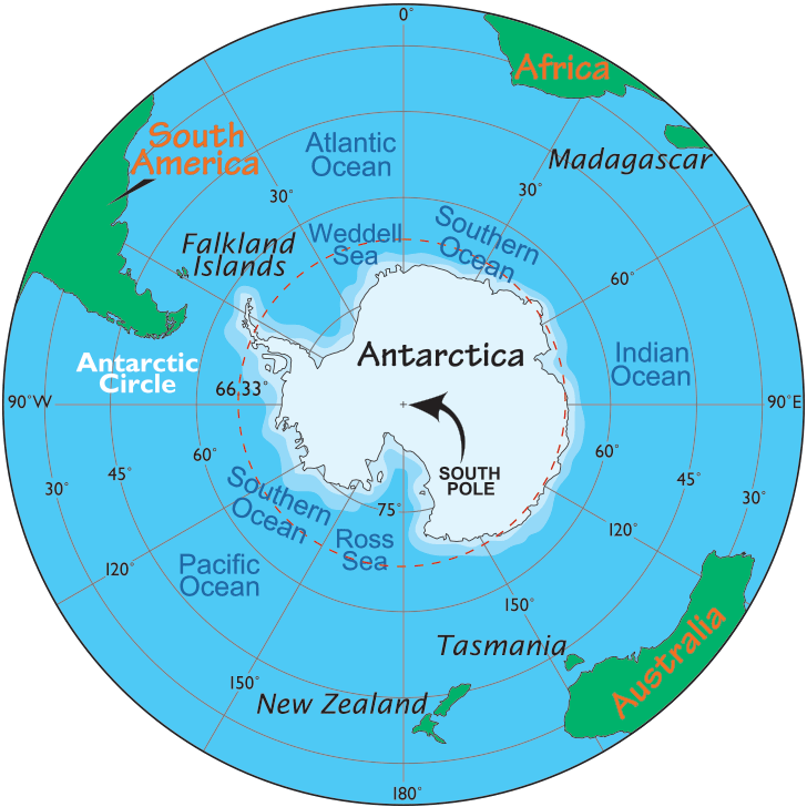
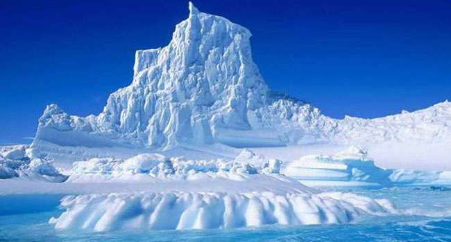
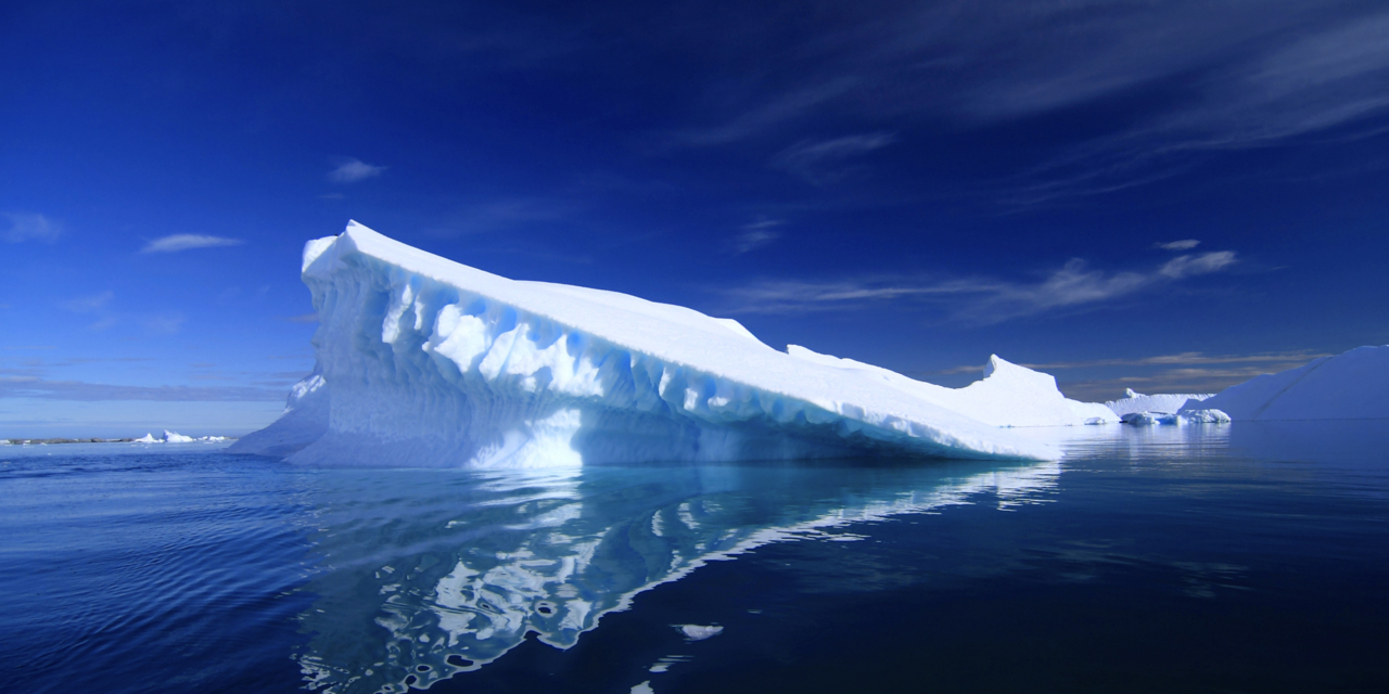
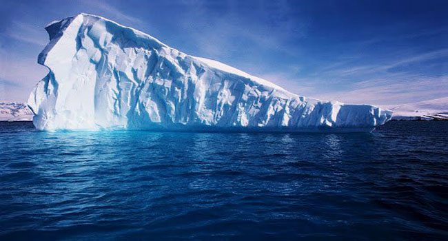
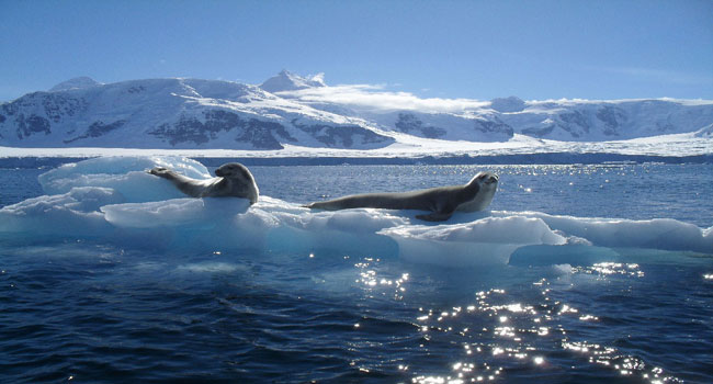
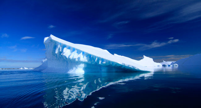
The Southern Ocean, also known as the Antarctic Ocean or the Austral Ocean, comprises the southernmost waters of the World Ocean, generally taken to be south of 60° S latitude and encircling Antarctica. As such, it is regarded as the fourth-largest of the five principal oceanic divisions: smaller than the Pacific, Atlantic, and Indian Oceans but larger than the Arctic Ocean. This ocean zone is where cold, northward flowing waters from the Antarctic mix with warmer subantarctic waters.
By way of his voyages in the 1770s, Captain James Cook proved that waters encompassed the southern latitudes of the globe. Since then, geographers have disagreed on the Southern Ocean's northern boundary or even existence, considering the waters part of the Pacific, Atlantic, and Indian Oceans, instead. This remains the current official policy of the International Hydrographic Organization (IHO), since a 2000 revision of its definitions including the Southern Ocean as the waters south of the 60th parallel has not yet been adopted. Others regard the seasonally-fluctuating Antarctic Convergence as the natural boundary.
The Southern Ocean, geologically the youngest of the oceans, was formed when Antarctica and South America moved apart, opening the Drake Passage, roughly 30 million years ago. The separation of the continents allowed the formation of the Antarctic Circumpolar Current.
Learn more